 Italian Antarctic Data Center
David Glacier
Type of resources
Topics
INSPIRE themes
Provided by
Years
Formats
Representation types
Update frequencies
status
Scale
-
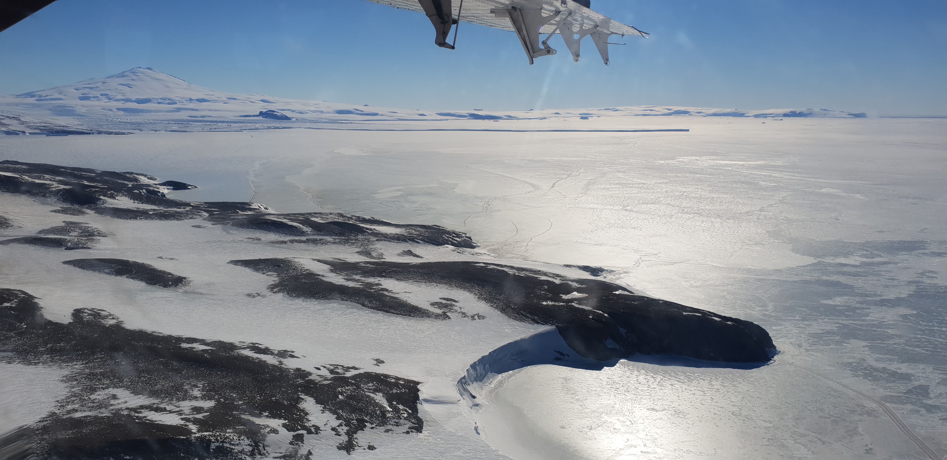
The dataset contains 500-2000 MHz brightness temperature measurements gathered by the Ultra-Wideband Software Defined Microwave Radiometer (UWBRAD) during the Ice Sheet and Sea Ice Airborne Microwave eXperiment (ISSIUMAX) in Terra Nova Bay, Antarctica. The published dataset is in ascii format and consists of geolocated nadiral brightness temperature measurements collected over 12 sub-bands whose central frequencies are 560, 660, 820, 900, 1180, 1240, 1370, 1500, 1630, 1740, 1860, and 1950 MHz. Only measurements with a viewing angle within 5 deg with respect to nadir are reported.
-

Seismological observations can be useful in the monitoring of ice stream dynamics and evolution. A temporary seismic array was deployed around the David Glacier, Victoria Land, during the austral summers 2005-06. Target of the experiment is the collection of seismometric data in order (i) to contribute to filling the gap in global seismic instrumentation, (ii) to monitor the Antarctic seismicity despite its weakness, (iii) to study the lithospheric and deep structure of the continent, (iv) to study interconnections between geodynamics and icecap and glacial evolution.
-
Seismological observations can be useful in the monitoring of ice stream dynamics and evolution. A temporary seismic array was deployed around the David Glacier, Victoria Land, during the austral summers 2015-16. Target of the experiment is the collection of seismometric data in order (i) to contribute to filling the gap in global seismic instrumentation, (ii) to monitor the Antarctic seismicity despite its weakness, (iii) to study the lithospheric and deep structure of the continent, (iv) to study interconnections between geodynamics and icecap and glacial evolution.
-
Seismological observations can be useful in the monitoring of ice stream dynamics and evolution. A temporary seismic array was deployed around the David Glacier, Victoria Land, during the austral summers 2003-04. Target of the experiment is the collection of seismometric data in order (i) to contribute to filling the gap in global seismic instrumentation, (ii) to monitor the Antarctic seismicity despite its weakness, (iii) to study the lithospheric and deep structure of the continent, (iv) to study interconnections between geodynamics and icecap and glacial evolution.
-

This dataset includes all the ordinary chondrites L group collected during the Italian Antarctic Expeditions since 1991 in Victoria Land and now preserved at the repository of the Museo Nazionale dell’Antartide.
-
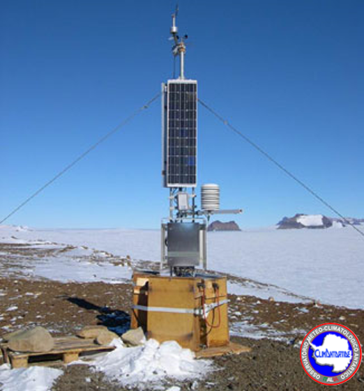
The Observatory main purpose is to contribute to the monitoring of global climate change monitoring standard meteorological parameters. The automatic weather station AWS Sofiab is located at David Glacier (75° 36′ 42″ S - 158° 35′ 26″ E) at 1552 m a.s.l., and has been installed on the 28 november 2002. It acquired, every hour, all year round, the meteorological vaiables of wind velocity, wind direction, temperature, pressure and relative humidity.
-

During the XVIII Italian Antarctic expedition (2002/03), 63 rocks have been sampled within the aim of the project "Geological mapping of Victoria Land" in northern and southern Victoria Land. They include intrusive, subvolcanic, volcanic, metamorphic and sedimentary rocks and sands. The investigated regions are within Convoy Range ST 57-60/1, Freyberg Mountains SS 58-60/1, Mount Joyce SS 55-57/16, Mount Melbourne SS 58-60/9, Reeves Névé SS 55-57/12 and Sequence Hills SS 55-57/8 USGS sheets.
-
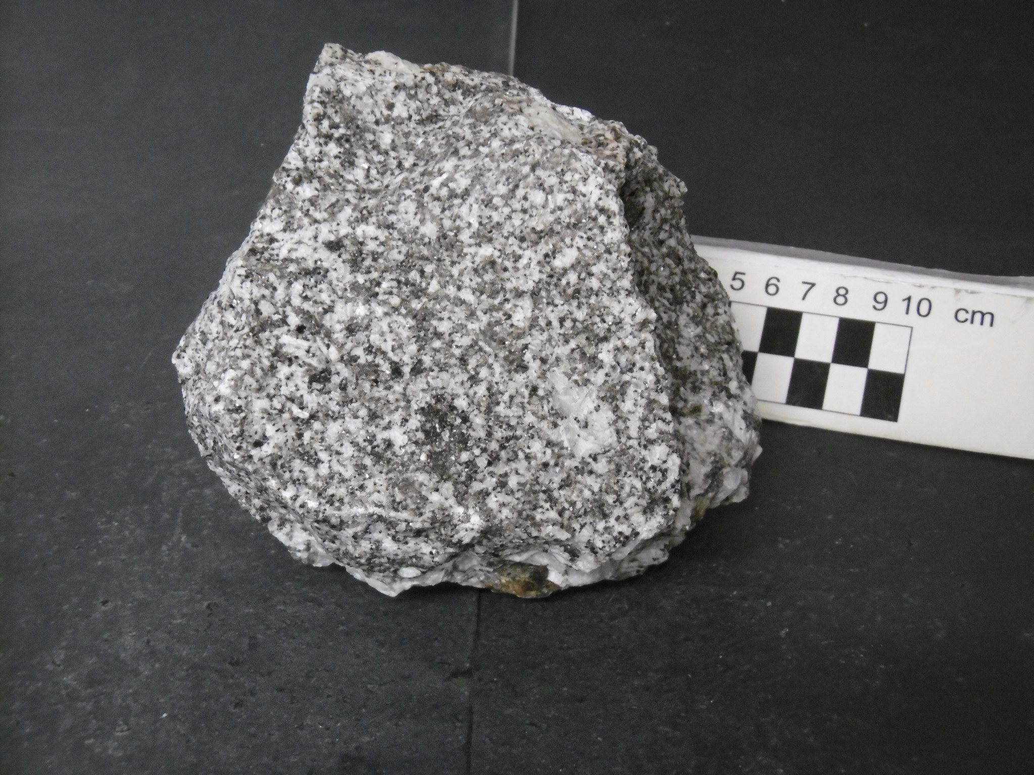
During the XXXIII and XXXIV Italian Antarctic expeditions (2017/18, 2018/19), 258 rocks have been sampled within the aim of the project "Completion of the geological cartography in Victoria Land and integration of the cartographic material into a digital dataset" in northern and southern Victoria Land. They include intrusive, subvolcanic, volcanic, metamorphic and sedimentary rocks. The investigated regions are within Convoy Range ST 57-60/1, Franklin Island ST 57-60/2* and Mount Joyce SS 55-57/16 USGS sheets.
-

During the XXVIII Italian Antarctic expedition (2012/13), 275 rocks have been sampled within the aim of the project "The Triassic-Jurassic depositional and magmatic events of Victoria Land successions (Antarctica) and paleoclimatic variations in the Gondwanian province" in northern and southern Victoria Land. They include intrusive, subvolcanic, volcanic, metamorphic and sedimentary rocks. The investigated regions are within Convoy Range ST 57-60/1, Freyberg Mountains SS 58-60/1, Mount Joyce SS 55-57/16, Mount Melbourne SS 58-60/9, Mount Murchison SS 58-60/5, Reeves Névé SS 55-57/12, Sequence Hills SS 55-57/8 and Taylor Glacier ST 57-60/5 USGS sheets.
-

During the XXXIII and XXXIV Italian Antarctic expeditions (2017/18, 2018/19), 194 rocks have been sampled within the aim of the project "Dating of tectonic activity along the Transantarctic Mountains front" in northern and southern Victoria Land. They include intrusive, subvolcanic, volcanic, metamorphic and sedimentary rocks. The investigated regions are within Convoy Range ST 57-60/1, Franklin Island ST 57-60/2*, Mount Joyce SS 55-57/16, Mount Melbourne SS 58-60/9, Reeves Névé SS 55-57/12, Relief Inlet SS 58-60/13 and Ross Island ST 57-60/6* USGS sheets.